Musbury Heights Quarry Explore
A Walk near Haslingden in Lancashire
There’s some really interesting ruins up on Musbury Heights with an old chimney still standing and a giant disused stone quarry filled with huge piles of stone rubble and little ruined huts. There are decent paths to the main ruins but exploring deeper onto the rubble fields might prove challenging and is probably dangerous. Quite a lot of the rock is loose and might be unstable.
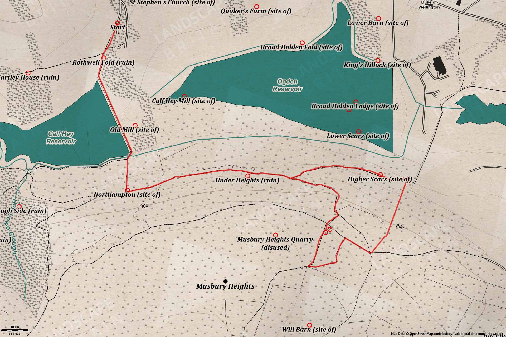
- Length: 5 km
- Difficulty: Moderate
- Terrain: Loose rock, Mud tracks, Muddy, Steep slopes, Tarmac
- Travel
Calf Hey
Setting off from the car park at Calf Hey Reservoir make your way down towards the water - perhaps stopping to look at the ruins of Rothwell Fold in the trees to the left on the way down. Once the reservoir is reached we make our way along the embankment with Musbury Heights ahead - you can see the heaps of rubble from the quarries pushed down over the top of the steep-sloping hillside. Over the side of the embankment was the site of an old mill - probably 18th Century or older and the larger Calf Hey Mill which followed after - about where the tip of Ogden Reservoir starts.
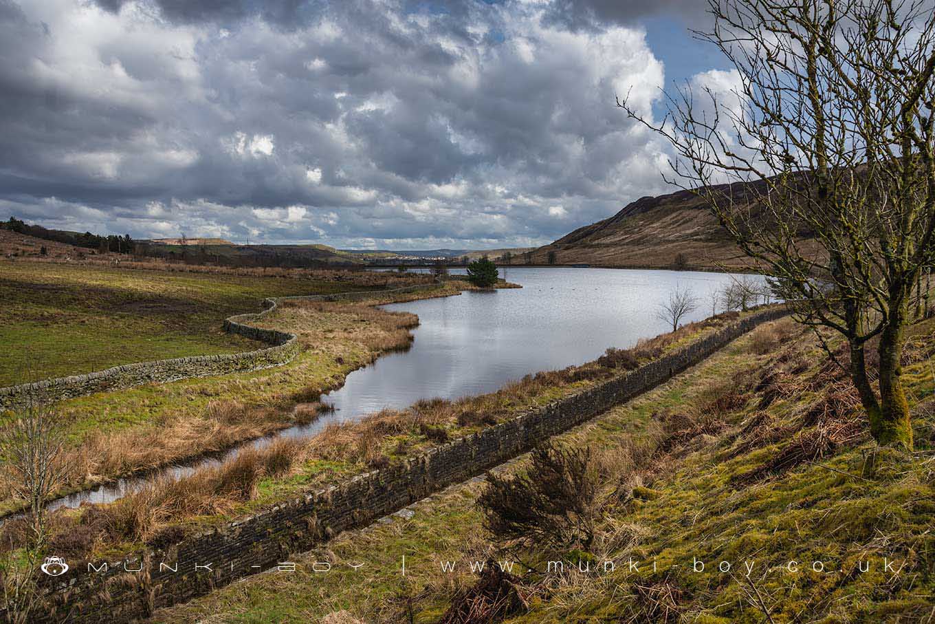
Calf Hey Reservoir
Under Musbury Heights
Once the end of the embankment is reached we must take the public footpath up to the ruins of Northampton before heading left along the Rossendale Way - maybe looking back to admire the view first. The stretch of path along the hillside gives wonderful views across the valley. The track can get very muddy in places or slippy with ice so take care as we make our way towards the great looking ruins of Under Heights which went derelict in the early part of the 20th Century. Less informative but in many ways a more traditional ruin than the ones around Calf Hey that have been levelled for safety.
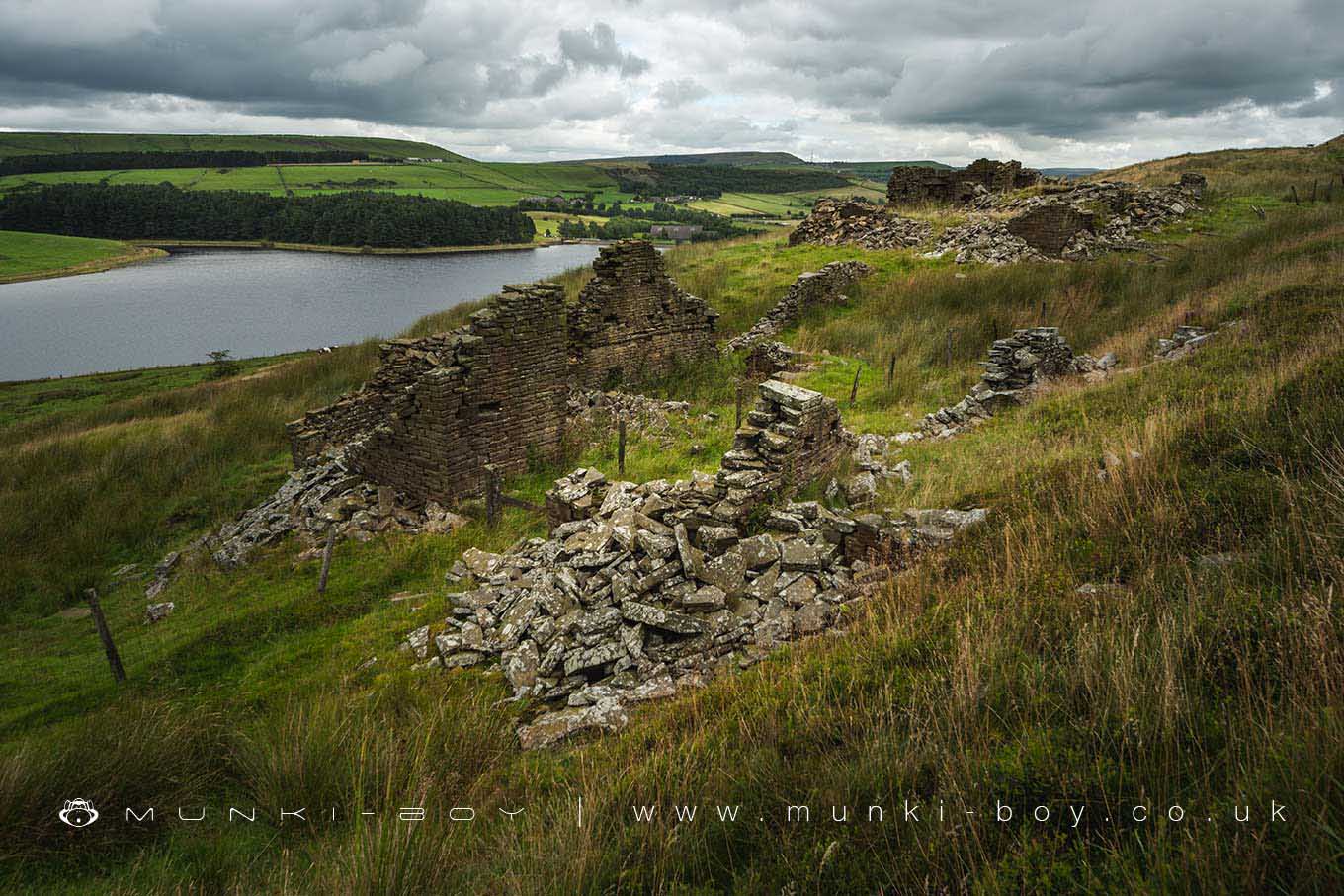
Under Heights (ruin)
The Chimney
Follow the main track as it ascends and bends right taking us directly to the remains of the main quarry buildings and impressive early 19th Century chimney. There’s some interesting things to find among the old rooms including a stone slab that might have been a machine plinth. There was a small reservoir pond nearby and the north side of the buildings had two crains over a tramway of which there where many serving different parts of the quarry at different times. It seems the early quarry was located on this side with work progressing southwards across the plateau with the quarried out areas backfilled with rubble. The stone being quarried would have been the famouse Haslingden Flags - large slabs of hard sandstone.
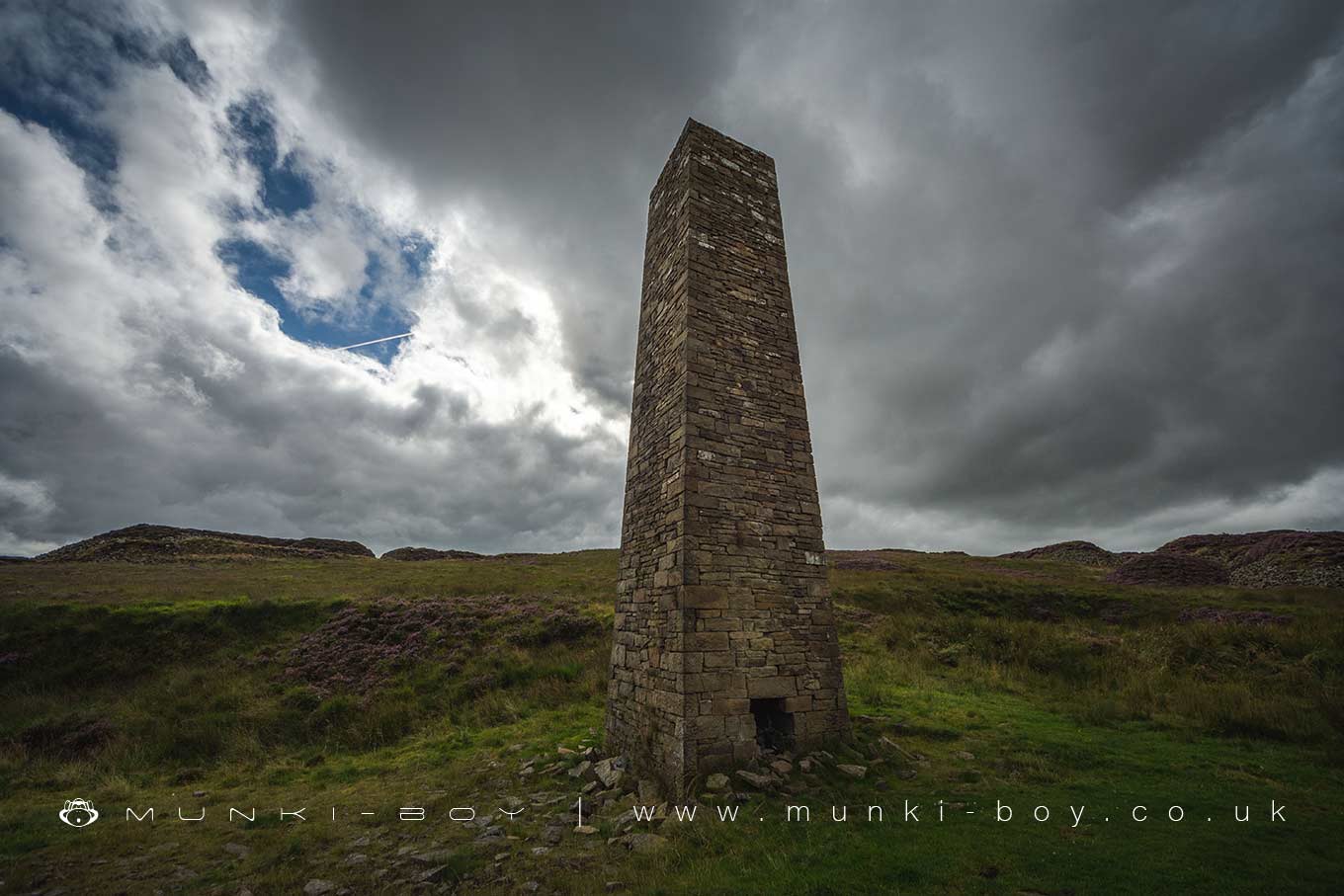
Early 20th Century Chimney at Musbury Heights Quarry
Tramway and Tor
If we take the track heading south through the ruins and up a small embankment, after some distance passing the old reservoir ponds to the right we come to a large rubble-pile which has been cut-through for a tramway, the sides being shored up with drystone walling. There are quite a few places like this in the quarries here but this seems to be popular with photographers - looks great when the heather is out too. Once through the cut-through we come to a wider track and turning left we head back toward the quarry and the track takes a left next to huge mounds of rubble radiating out like fingers, this is the backfill that was pushed over the older quarried areas just to get it out-of-the-way. The track heads north here until the route of the old tramway from the ruins is reached and we turn right passing a few walls and ruined huts. Once a junction of tracks is reached on our left is the top of the incline used to get the tramway down into the valley. Incidentally the Rossendale Way splits off here and although not on our route it’s worth following a short distance to the back of the quarries where there is a great view of Tor Hill.

Old Tramway at Musbury Heights Quarry

Musbury Tor from Musbury Heights
If You're That Way Inclined
Back to our walk there is a bit of a dodgy descent down the incline - note the ruins on the right above. The incline descends impressively between two banks, with purple heather either side if we’re here at the right time of year. Some distance down a footpath crosses the incline and we should turn right here but turn around if you haven’t already and look back up the steep incline - imagine the rock filled carts coming down. Turning right down the side of the incline we immediately double-back on ourselves to find an old tunnel passing through the bank of the incline which was the old way to Higher Scars - now not much of a ruin which we pass on our right - heading back towards Calf Hey Reservoir. The track curves left and ascends to reach the Rossendale Way we came up earlier.
The way back is the way we came, simply heading back to Calf Hey and the car park - the view on the way back is great, looking up the valley over the water. If you aren’t done after exploring the quarries head back the long way round the reservoir.
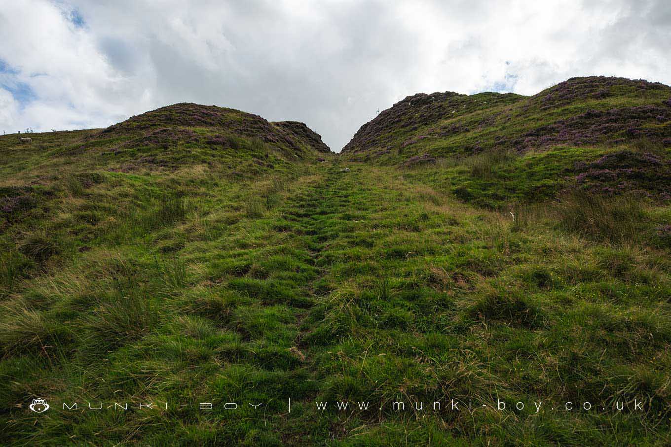
The Old Tramway Incline at Musbury Heights Quarry
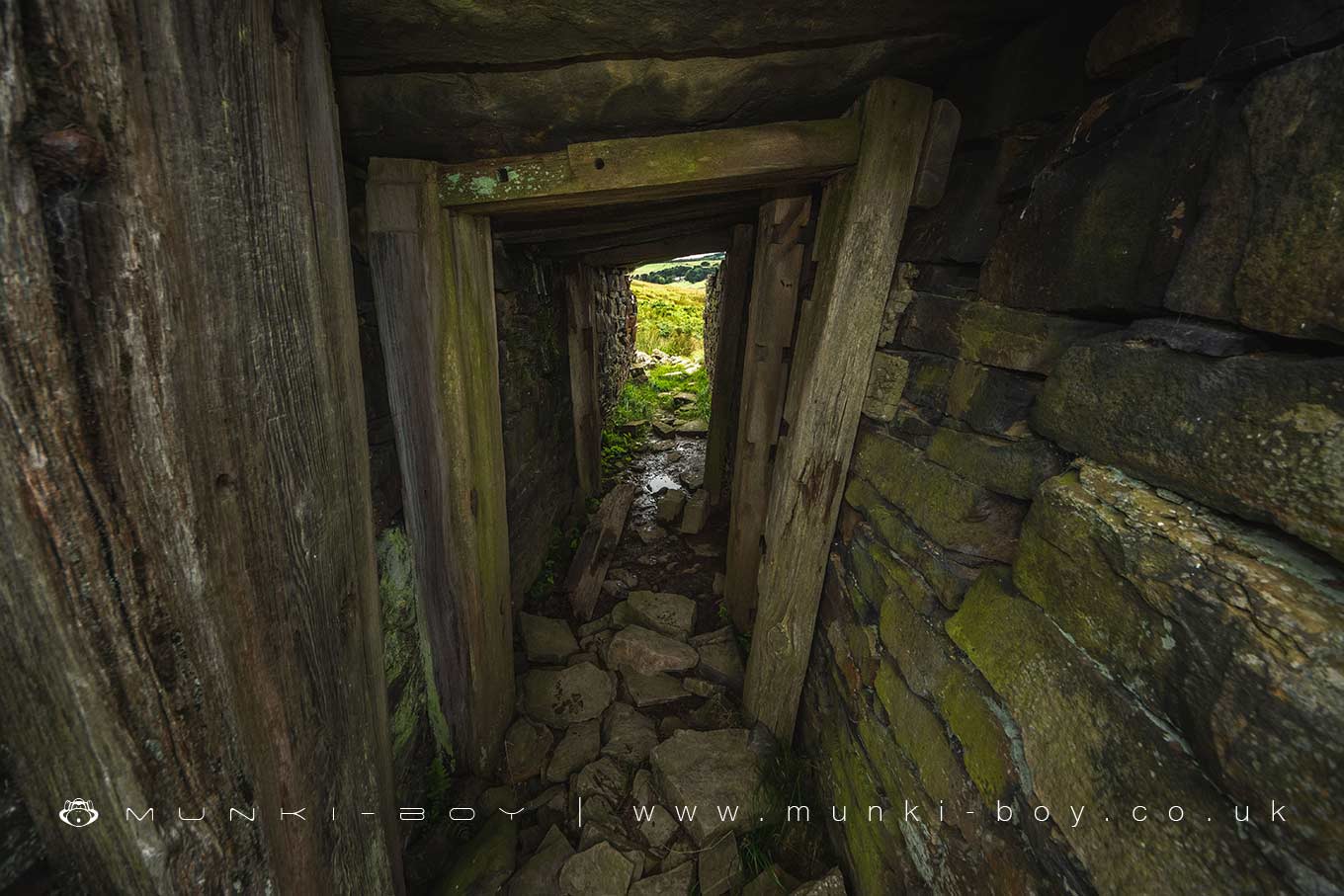
19th Century Tunnel under the Incline at Musbury Heights Quarry
These walks are described for educational purposes only and we make no recommendation that you follow them, do so at your own risk. We accept no liability for your safety or for the reliability of the walk, map, description or anything else.
